
Y2 - Eastham Woods trip
Year 2 enjoyed a lovely day exploring Eastham Woods. They each had a map of the area and identified human and physical features.
Knowledge: to identify human and physical features in a local area
Skills: to be able to locate the human or physical features on a local map
vocab: human and…

Exploring Volcanoes Around the World with Year 4
Today, children in Year 4 embarked on an exciting geography adventure! Using atlases and globes, they explored the locations of some of the world’s most famous volcanoes. From Mount Vesuvius in Italy to Mount Fuji in Japan, the children discovered how these natural wonders are spread across…
Duke of Westminster
Memorable scenes from a lovely day out for Y3 on the Duke of Westminster's Estate near Chester.
.jpg)
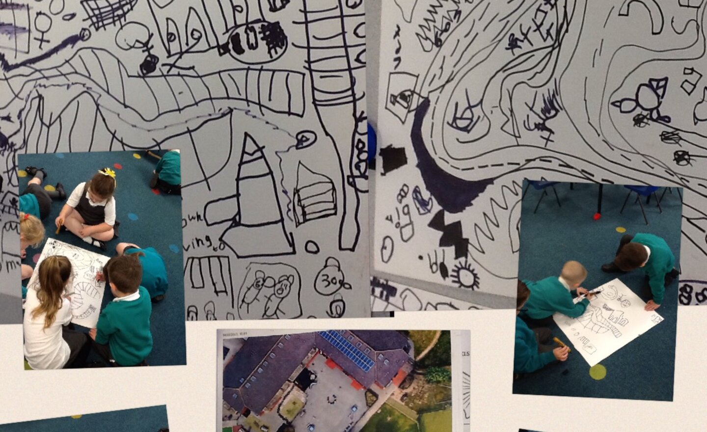
Exploring Our Local Area with Google Earth!
Today in Year 4, we went on a virtual adventure using Google Earth to explore Great Sutton and Ellesmere Port!
We spotted physical features like rivers, fields, and woodlands, and compared them to human features such as roads, schools, and the Blue Planet Aquarium. The children loved finding…
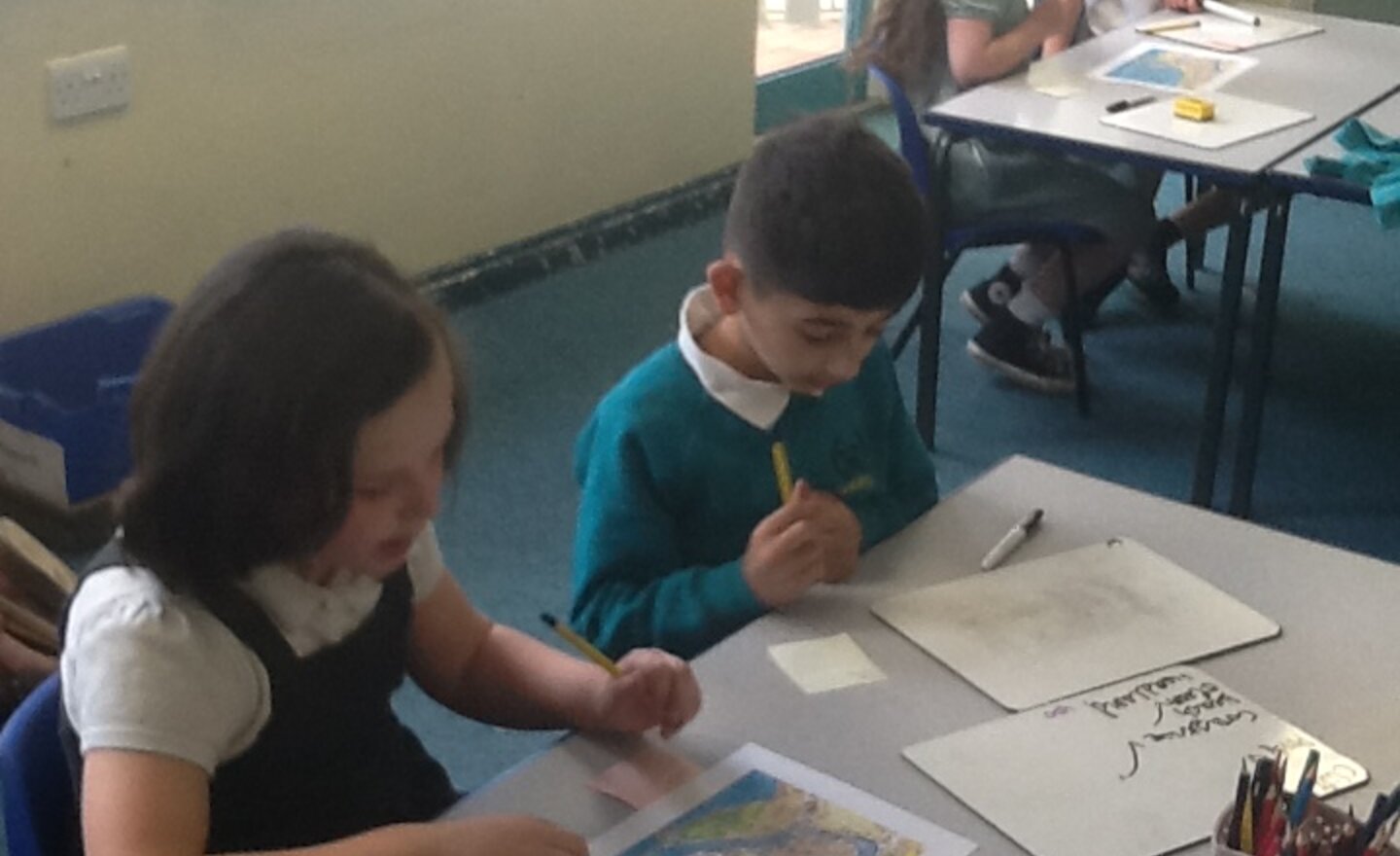
Y2 - Geography
Year 2 have been learning about the Jurassic coastline and in particular the seaside town of Weymouth.
They have used a map to identify the human (and physical) features of the town.
Knowledge: to identify the human features of the seaside
Skills: to name human features of the…
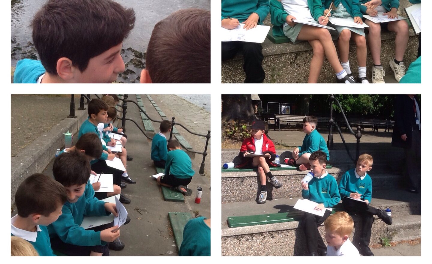
Y3 Geography fieldwork - River Dee
Geography fieldwork was so much fun! Two glorious days on the banks of the River Dee exploring how it is used in comparison with the mouth of the River Mersey.
.JPG)
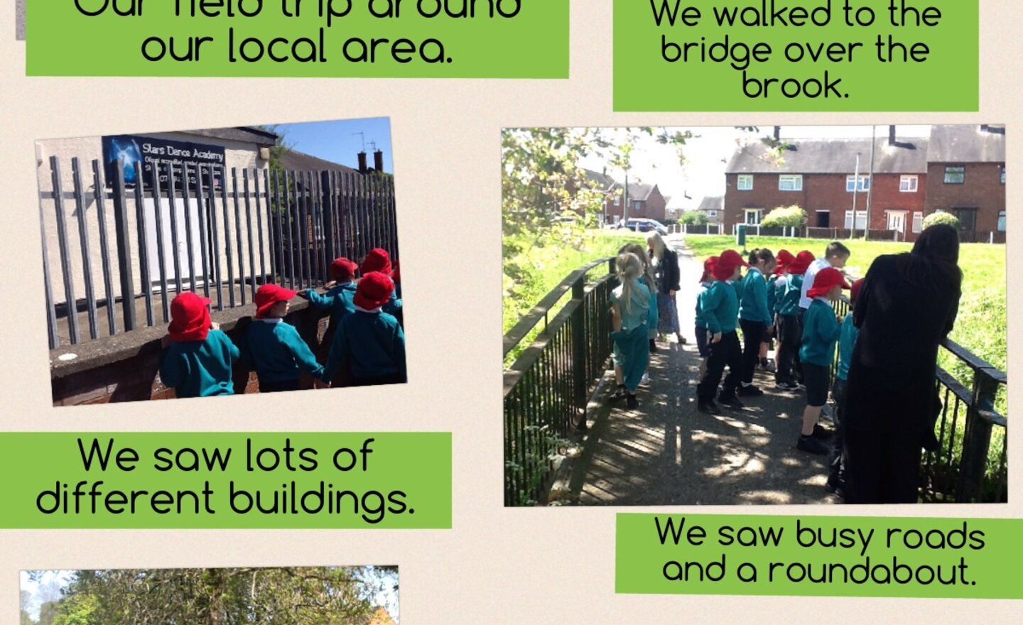
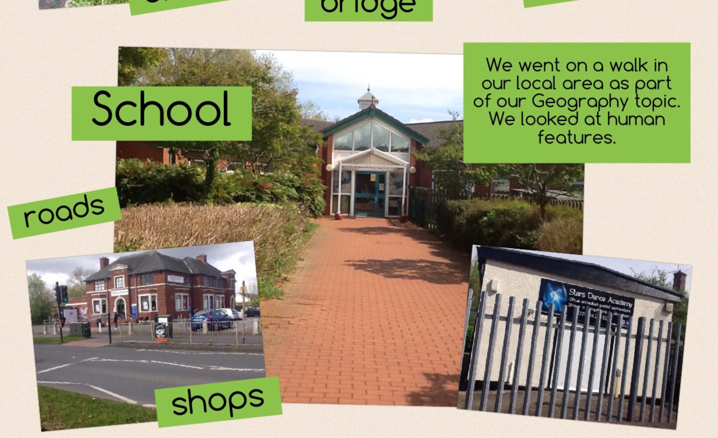
Geography field trip
Last term we visited the brook of Brookside!
The brook has been here since before the oldest Ordnance survey maps existed.
It is now partially covered by housing estates as it flows to the Mersey.